




Share Post


The Cyclonic Storm “Ditwah” was located near latitude 8.4°N and longitude 81.0°E, approximately 30 km southwest of Trincomalee at 11:30 AM today (28). The storm is expected to move north-northwestward. The public is advised to remain alert and closely follow updates from the Department of Meteorology. Cloudy conditions are expected over most parts of the island.
Intermittent showers and thundershowers are expected over the Northern, North-central, Central, and North-western provinces, including Trincomalee district, with very heavy rainfall exceeding 200 mm possible in some locations. Showers or thundershowers will also occur in Sabaragamuwa and Western provinces as well as in Galle and Matara districts, where very heavy rainfall above 150 mm may be experienced in certain areas.
Other regions of the island will experience scattered showers or thundershowers. Very strong winds, ranging from 60 to 70 kmph and gusting up to 80–90 kmph, are expected across most parts of the island. The public is urged to take all necessary precautions to minimize damage from heavy rain and strong winds.
Over the sea areas surrounding the island, the storm continues to move north-northwestward from its current location near 8.4°N, 81.0°E, about 30 km southwest of Trincomalee. Naval and fishing communities are strongly advised not to venture into the sea until further notice and to closely monitor advisories from the Meteorological Department.
Very heavy showers or thundershowers are expected across these sea areas. North-easterly to north-westerly winds, reaching 60–70 kmph and gusting up to 80–90 kmph, are anticipated. The sea will be rough to very rough, with swell heights of 3.0 to 4.0 meters, and near-shore areas may experience surges.
The public is urged to remain vigilant and take all necessary safety measures during this severe weather event.
Intermittent showers and thundershowers are expected over the Northern, North-central, Central, and North-western provinces, including Trincomalee district, with very heavy rainfall exceeding 200 mm possible in some locations. Showers or thundershowers will also occur in Sabaragamuwa and Western provinces as well as in Galle and Matara districts, where very heavy rainfall above 150 mm may be experienced in certain areas.
Other regions of the island will experience scattered showers or thundershowers. Very strong winds, ranging from 60 to 70 kmph and gusting up to 80–90 kmph, are expected across most parts of the island. The public is urged to take all necessary precautions to minimize damage from heavy rain and strong winds.
Over the sea areas surrounding the island, the storm continues to move north-northwestward from its current location near 8.4°N, 81.0°E, about 30 km southwest of Trincomalee. Naval and fishing communities are strongly advised not to venture into the sea until further notice and to closely monitor advisories from the Meteorological Department.
Very heavy showers or thundershowers are expected across these sea areas. North-easterly to north-westerly winds, reaching 60–70 kmph and gusting up to 80–90 kmph, are anticipated. The sea will be rough to very rough, with swell heights of 3.0 to 4.0 meters, and near-shore areas may experience surges.
The public is urged to remain vigilant and take all necessary safety measures during this severe weather event.
Latest News
Trump signs sweeping Russia sanctions bill into law
Local
19 September 2026

Google Gemini hacked three companies during security test
Local
19 September 2026

Warren Buffett steps down, son Howard takes Berkshire chair
Local
19 September 2026

Shark attack prompts beach closures in Western Australia
Local
19 September 2026

‘Lollipop Chainsaw’ set for live-action feature adaptation
Local
19 September 2026

Trump hails new Greenland security agreement
Local
19 September 2026

Muslim MPs rally support for Sri Lankan facing Saudi death sentence
Local
19 September 2026

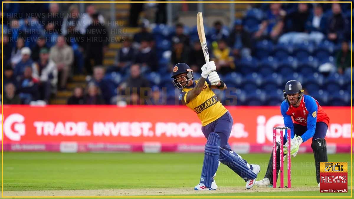
Sri Lanka face England in final T20I today
Local
19 September 2026
Employees foil robbery attempt at liquor store
Local
19 September 2026

Seatbelts mandatory from today for all expressway passengers
Local
19 September 2026